About Us
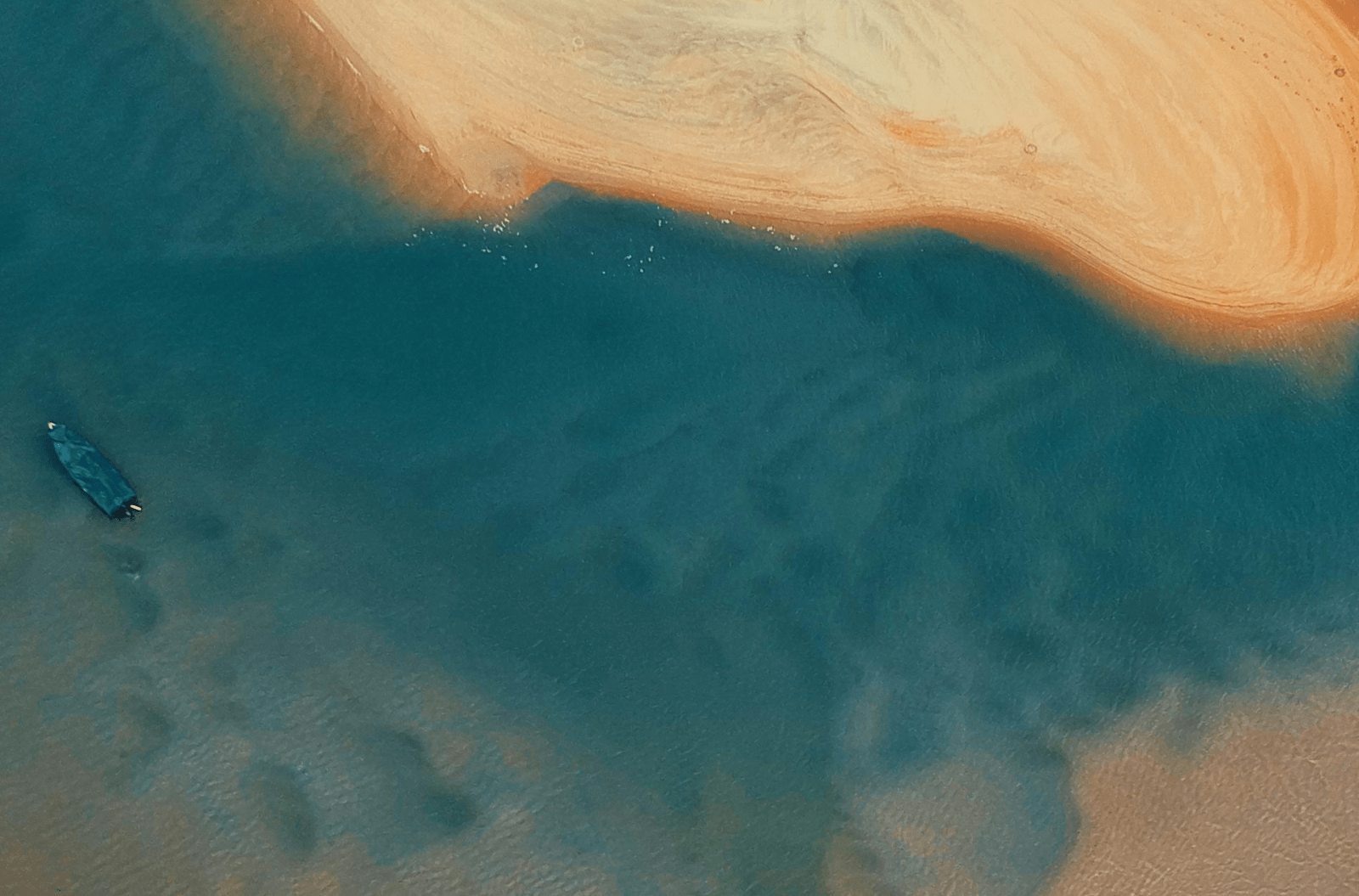
READ MOREWhat can the latest marine survey technology do for you? Whether you are interested in establishing site suitability or monitoring environmental changes, we have seen and done it all. Based in Clonakilty, Co. Cork in Ireland, we have been solving survey problems since 1979.
Our team specializes in designing data acquisition campaigns tailored to your project’s unique requirements. With years of industry experience, we carefully assess site conditions, survey objectives, and potential challenges to develop optimised methodologies. Whether it's land, marine, or airborne geophysics, we ensure efficient coverage and reliable results while adhering to industry best practices and safety standards.
CONTACT
We utilise advanced geophysical, hydrographic and environmental instruments and rigorous field procedures to collect high-quality data with precision and accuracy. Our experienced field teams follow strict quality control protocols, ensuring that every dataset meets the highest standards. Whether conducting multibeam, seismic, or electromagnetic surveys, we are committed to delivering reliable data that forms the foundation for informed decision-making.
CONTACT
Our surveyors apply their expertise and cutting-edge software tools to analyse complex datasets. By integrating multiple data sources and leveraging advanced processing techniques, we extract meaningful insights that help identify surface and subsurface features with confidence. Our in-depth interpretation ensures our clients receive accurate assessments, minimising risks and enhancing project outcomes.
CONTACT
We provide comprehensive, easy-to-understand reports that translate complex geophysical data into actionable insights. Our reports include clear visualisations, in-depth analysis, and practical recommendations tailored to your project’s needs. With a strong emphasis on accuracy and clarity, we ensure our clients have the information they need to make informed decisions with confidence.
CONTACT
Hydro Services
01
|
We have been providing bathymetric survey solutions to our clients for the last 40 years and have seen the industry change drastically. We started in the time of hand drawn maps and trisponders and now look forward to the future of hydrographic surveying using the latest GNSS, USV and echosounding technologies.
VIEW ALL
Terra Services
02
|
Our dedicated surveying team can provide fast mobilising and quality drone based LiDAR survey services. We specialise in marine projects where intertidal zones as well as port infrastructure requires detailed and accurate surveying.
VIEW ALL
Our Clients Say
WORK WITH US
— Brian Snow
Operations Director | Sorensen
— David Mills
Principal Engineer | RPS


Trusted by