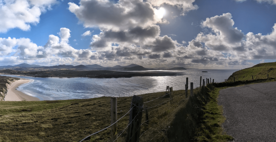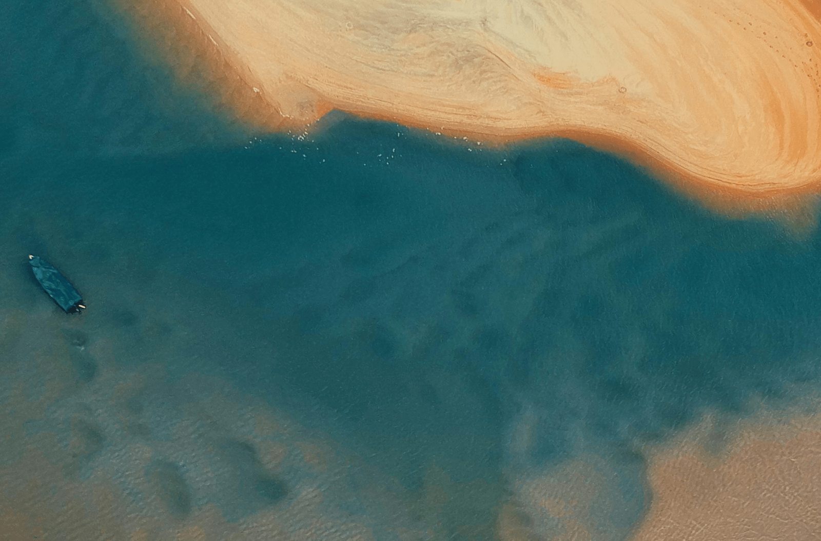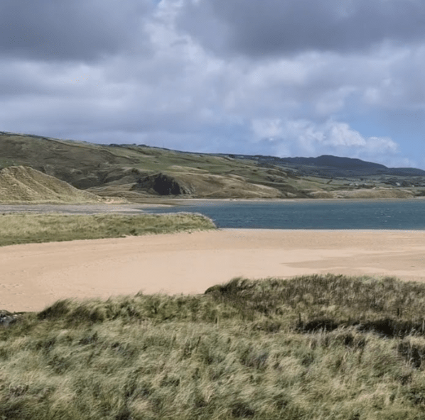
Hydro Survey, commissioned by the Office of Public Works (OPW), undertook a comprehensive coastal monitoring survey program across five coastal areas in Donegal and Sligo during the summer of 2024.
The survey aimed to collect high-resolution data on coastal morphology, erosion rates, and sediment transport processes.
Utilising advanced technologies such as multibeam sonar and land-based LiDAR, Hydro Survey’s team of experts accurately mapped the coastal zones, capturing detailed bathymetric and topographic information. This data will be invaluable for coastal management, erosion mitigation, and future planning initiatives.
By combining these cutting-edge survey techniques, Hydro Survey is committed to providing accurate and reliable data to support the OPW’s efforts in protecting Ireland’s valuable coastal heritage.