About Us
READ MORE
From precise bathymetric surveys to advanced geophysical assessments, we have been delivering comprehensive hydrographic solutions since 1979. Based in Clonakilty, Co. Cork, Ireland, our experienced team is dedicated to supporting your marine projects with the latest technology and expertise.
Experienced
Survey Design
Our team specializes in designing data acquisition campaigns tailored to your project’s unique requirements. With years of industry experience, we carefully assess site conditions, survey objectives, and potential challenges to develop optimised methodologies. Whether it's land, marine, or airborne geophysics, we ensure efficient coverage and reliable results while adhering to industry best practices and safety standards.
CONTACT
Precise Data Acquisition
We utilise advanced geophysical, hydrographic and environmental instruments and rigorous field procedures to collect high-quality data with precision and accuracy. Our experienced field teams follow strict quality control protocols, ensuring that every dataset meets the highest standards. Whether conducting multibeam, seismic, or electromagnetic surveys, we are committed to delivering reliable data that forms the foundation for informed decision-making.
CONTACT
Expert Data Interpretation
Our surveyors apply their expertise and cutting-edge software tools to analyse complex datasets. By integrating multiple data sources and leveraging advanced processing techniques, we extract meaningful insights that help identify surface and subsurface features with confidence. Our in-depth interpretation ensures our clients receive accurate assessments, minimising risks and enhancing project outcomes.
CONTACT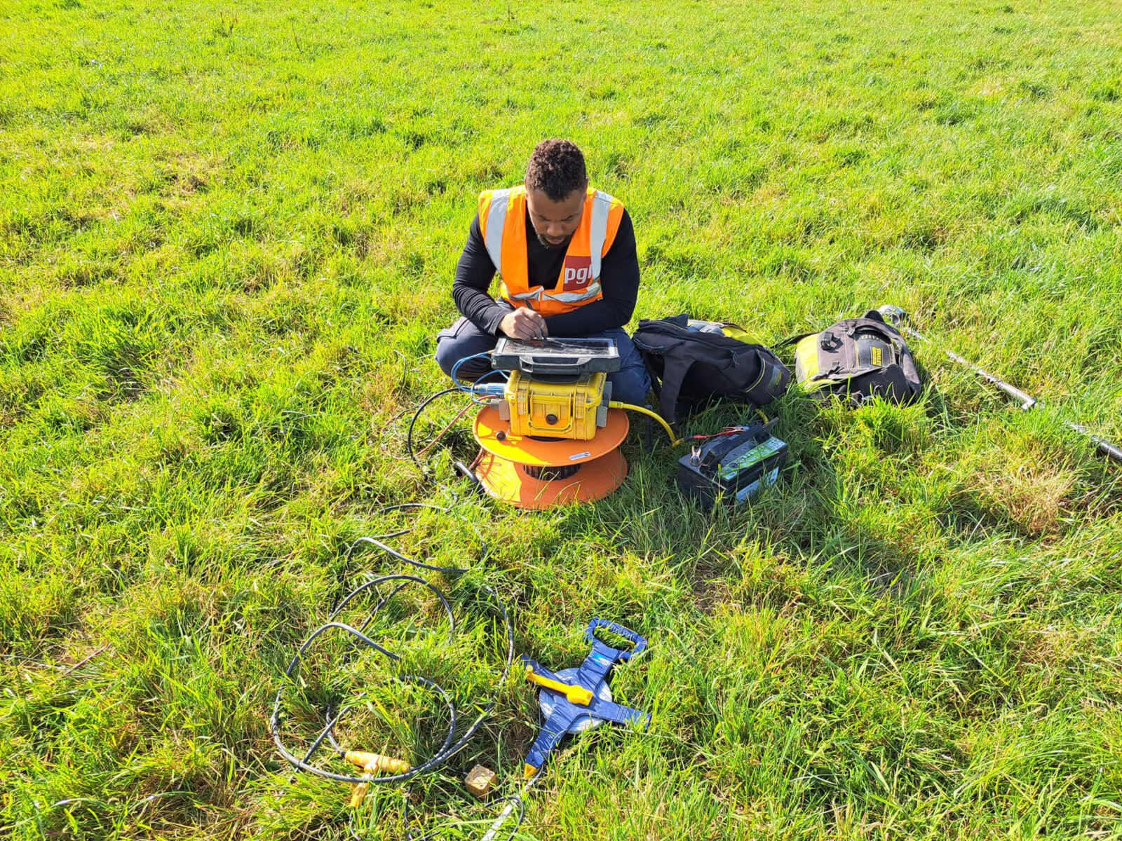
Detailed Reporting
We provide comprehensive, easy-to-understand reports that translate complex geophysical data into actionable insights. Our reports include clear visualisations, in-depth analysis, and practical recommendations tailored to your project’s needs. With a strong emphasis on accuracy and clarity, we ensure our clients have the information they need to make informed decisions with confidence.
CONTACT
Check our Terra services · Check our Terra services ·
Check our Terra services · Check our Terra services ·
Check our Terra services · Check our Terra services ·
Terra Services
01
|
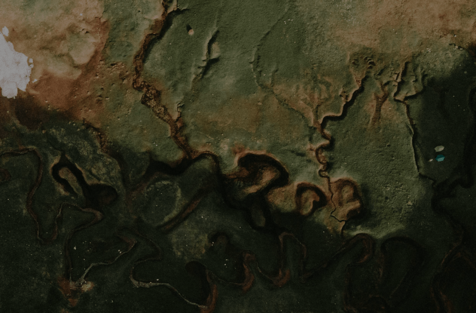
GEOPHYSICAL SURVEY SERVICES
We offer a range of geophysical surveying techniques suitable for land engineering and environmental monitoring projects. These techniques can be used to resolve top of bedrock, type of bedrock, quality of bedrock, presence of karst / voiding, leachate mapping, landfill extents among others.
VIEW ALL
Terra Services
02
|
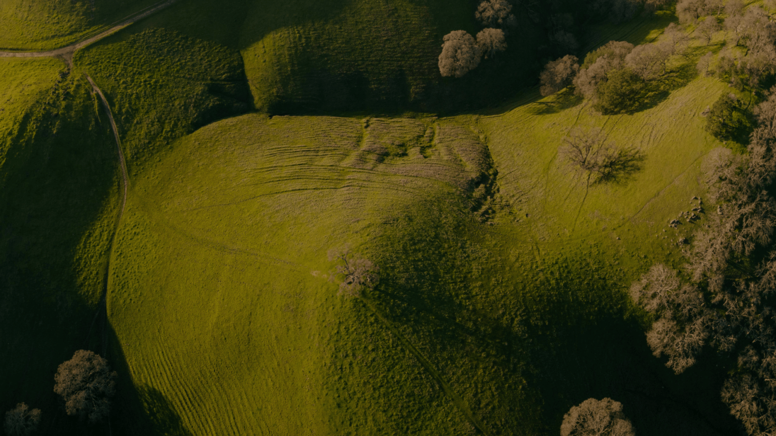
TOPOGRAPHICAL SURVEY SERVICES
Our surveying team can provide you with a comprehensive site topograpahical survey using the latest GNSS RTK and total station leveling surveying techniques. Our team have experience with all site challenges and are capable of providing you with a efficient survey solution. Topographical information can be used to create DTMs and to provide volumetric calculations of client assets.
VIEW ALL
Our Clients Say
WORK WITH US
Sorensen Civil Engineering has used Hydro Survey on many of our marine and land-based projects. Hugh and is team have and continue to provide an excellent service and are extremely professional in their project delivery.
— Brian Snow
Operations Director | Sorensen
We engaged Terra Survey to undertake an extensive geophysical survey of existing flood defences predominantly to the west of Limerick City. We were particularly interested in understanding the depths of any soft soils and the potential presence of karstic features in the bedrock. Terra Survey reviewed our proposed survey and advised on tweaks to optimise the survey to ensure we gathered all of the required information. Terra Survey’s site team undertook the survey promptly in very challenging terrain. The report produced by Terra Survey on completion of the fieldworks was to a very high standard. We were delighted with Terra Surveys inputs to the project and we look forward to working with them again in the near future.
— David Mills
Principal Engineer | RPS


Trusted by