

Introduction
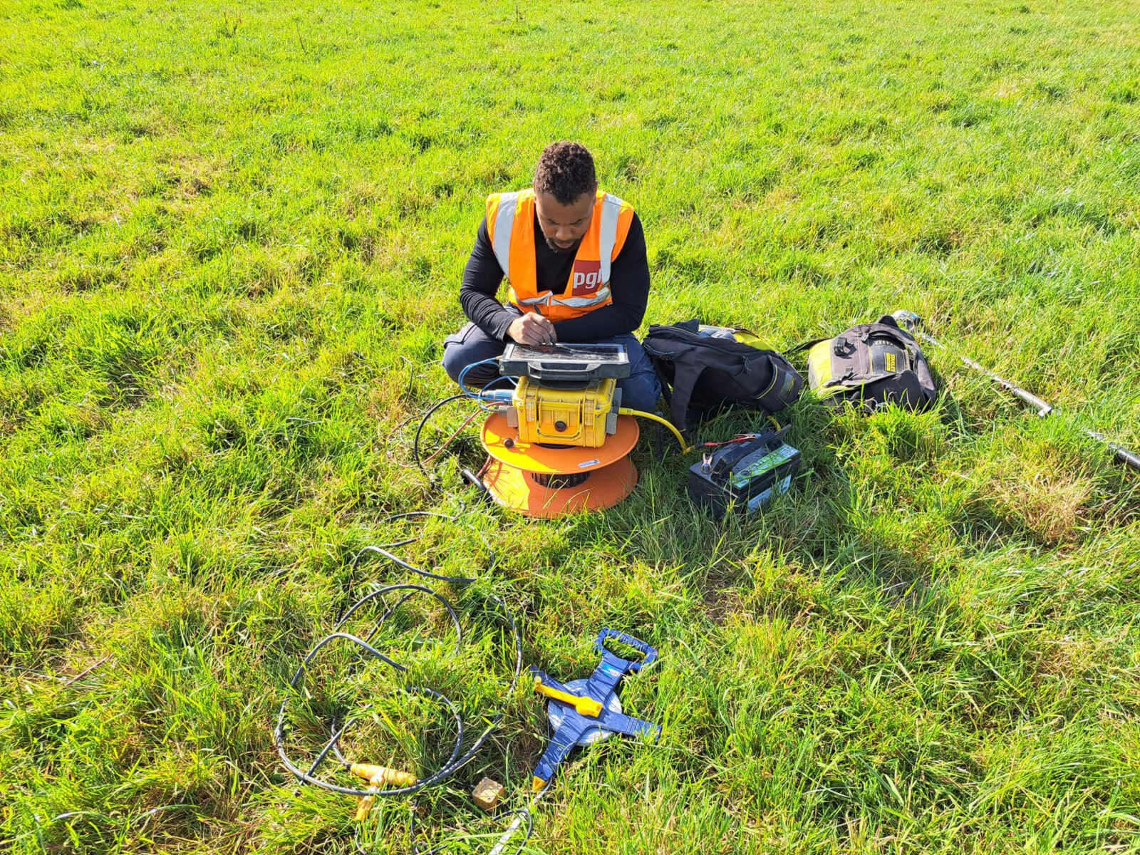
This project has involved the use of electrical resistivity tomography (ERT) and seismic refraction profiling over a combined distance of 92.6 kilometres. The data collected through these methods is essential for the design of groundworks for a flood defines system. Our team of experts have been working diligently to ensure the successful execution of this project.

Trusted by


Our Clients Say
WORK WITH US
Sorensen Civil Engineering has used Hydro Survey on many of our marine and land-based projects. Hugh and is team have and continue to provide an excellent service and are extremely professional in their project delivery.
— Brian Snow
Operations Director | Sorensen
We engaged Terra Survey to undertake an extensive geophysical survey of existing flood defences predominantly to the west of Limerick City. We were particularly interested in understanding the depths of any soft soils and the potential presence of karstic features in the bedrock. Terra Survey reviewed our proposed survey and advised on tweaks to optimise the survey to ensure we gathered all of the required information. Terra Survey’s site team undertook the survey promptly in very challenging terrain. The report produced by Terra Survey on completion of the fieldworks was to a very high standard. We were delighted with Terra Surveys inputs to the project and we look forward to working with them again in the near future.
— David Mills
Principal Engineer | RPS